Saint Simons Island is the main barrier island in the group known as the Golden Isles. These four islands include Sea Island and Jekyll Island. The privately-owned Little St. Simons Island was bought and declared a preserve by Henry Paulson Jr., the former U.S. Treasury Secretary. The Golden Isles are located on the southeast Georgia coast, midway between Savannah and Jacksonville, Florida.
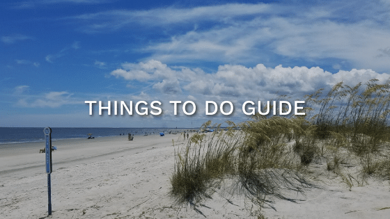
St. Simons Island, known for its blue waters, salt marshes, and driftwood-littered beaches, is a natural wonder best viewed by bicycle. The small 17.51 square mile island has a unique, island-wide trails system, where most of the main roads are paralleled by bike trails and paved paths. When planning your stay at your vacation rental home, you’ll have plenty of great bike trails to choose from.
St. Simons Island bike trails system encircles the island, covering over 30 miles of designated paths. Each trail provides easy access to beach views, museums, and restaurants. Whether you rent a bicycle on the island or bring yours with you, I highly recommend at least one day on the trails.
Technically, there are two main legs to the St Simons Island bike trails – the north and the south segment of Frederica Road. Marked by the Federica roundabout, the northern paths are less crowded and more scenic. In comparison, the southern trails and paths navigate the bustle of St. Simons Island, Georgia.
Hampton Spur
The Hampton Spur Bike Trail is located in the north of St. Simons Island. The Hampton Spur is five miles long – 12 miles, up and back. It begins at the Frederica roundabout mid-island to the Hampton Estates, ending at the Country Club golf course.
This easy walking and biking trail is paved and offers relaxing scenery over a minimal grade. Leashed dogs are welcome throughout this trail.
Hampton Spur parallels Lawrence Road and is separated from the roadway by a grassy, wide median, ensuring a safe bike ride. Cyclists continue to the northern portion of the island, passing Frederica Park. Free and plentiful designated parking is available near the trailhead at Lawrence Road near the Frederica roundabout.
The rest of the inter-island trail system follows the major island roads. The main road south continues Frederica Road, and the island bicycle trail runs beside it. This portion of the path ends at Kings Way.
Because Frederica Road is the main thoroughfare on the island, traffic is substantial, and navigating intersections can be tricky.
For visitors to the island, deciphering the different trails is sometimes confusing. Many locals often refer to a bike path by the street name or the notable attractions along the way.
Cannon’s Point
An easterly segment of the Northern Hamilton’s Spur, Cannon’s Point Road, leads to Cannon’s Point State Park and Preserve. Owned by St. Simons Island Land Trust, this 644-acre primitive wilderness area is home to plant and animal species native to St. Simons Island. The site protects sea palms and marshlands. Cannon’s Point can be accessed via hiking and biking trails.
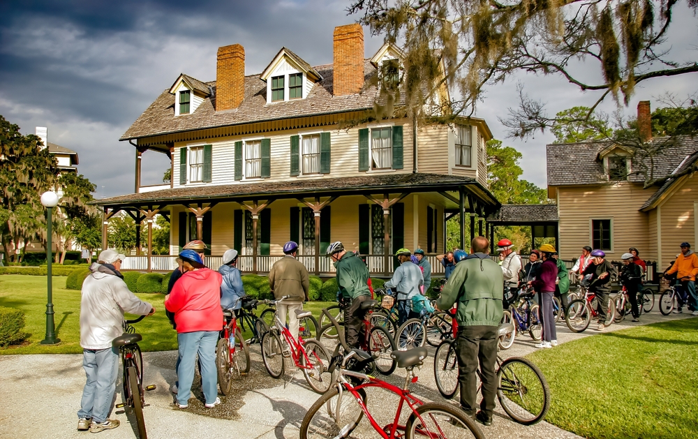
Fort Frederica Christ Church Trail
Christ Church, Frederica, is a popular location on St. Simons Island, offering beautiful southern architecture and scenery for photographs and making this one of the most photographed locations on the barrier island.
The multi-use route to Christ Church, Frederica, is a level 2-mile route. It is an easy ride for most mountain bikes.
The trail extends westward from the island’s center to the Frederica roundabout and Lawrence Road. And the complete multi-use path loop covers 7.25 miles out and back and links into existing sidewalks and intersections, creating a safe biking environment.
Initially built in 1820 but destroyed by Union forces during the Civil War. The current building was restored in 1884. The church itself sits in a serene green space.
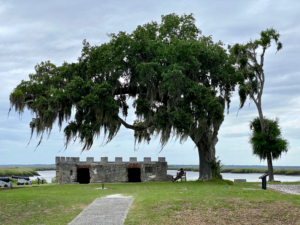
A few miles past the church is the Fort Frederica National Monument, built three years after the founding of Georgia, in 1736.
Pier Village
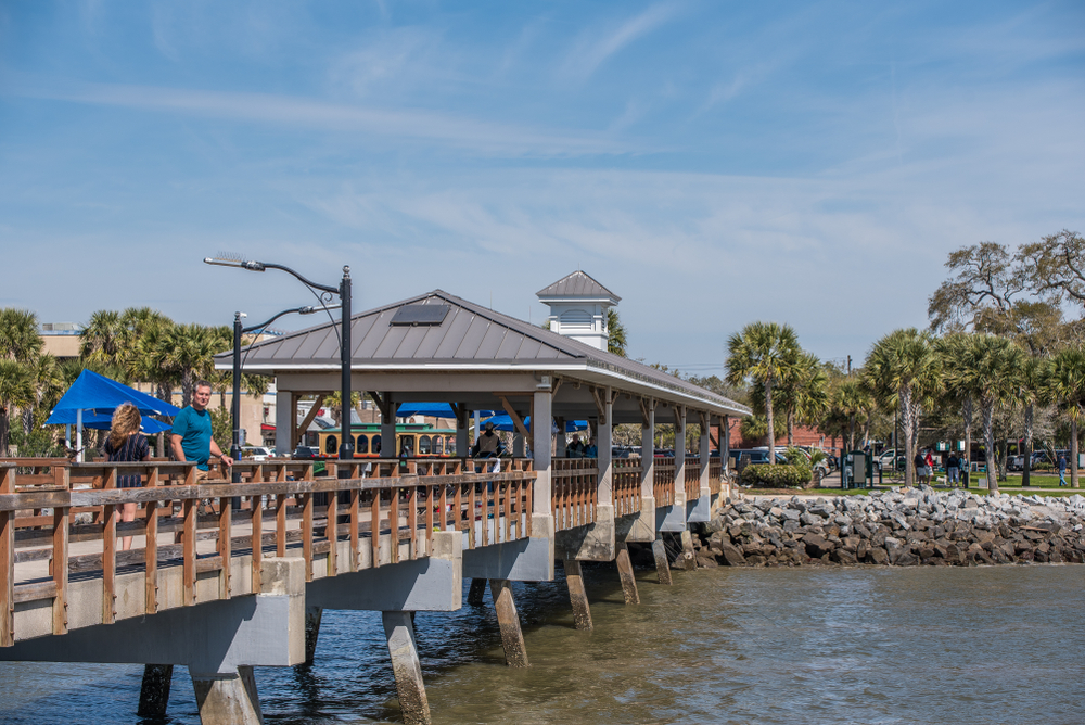
Other island attractions accessible by the Demere Trail include the Maritime Center, an interactive family-friendly maritime museum located at the Coast Guard Station. Close by is the St. Simons Lighthouse Museum.
The Lighthouse is one of five surviving light towers in Georgia and is accessible by climbing 129 steps to the top. Both are located near Neptune Park along St. Simons Isle’s southern coast.
Pier Village is also home to shopping, watercraft rentals, and bike rentals such as Two Brothers Bike Shop.
Kings Way
A short path traverses Kings Way through the Avenue of the Oaks – a group of old Southern live oaks that provides beautiful scenery and peaceful green space. This trail segment is a 7-mile paved path from Frederica Rd to Sea Island Road.
The Kings Way route extends 1.5 miles across the Frederica River via the FJ Torras Causeway onto Lanier Island. This small inter-river island is home to the Frederica Yacht Club and several local restaurants. Because of its distance and the river crossing, this path is slightly more complicated than other island trails.
The FJ Torras Causeway also links St. Simons Island with coastal Georgia’s city of Brunswick.
Demere Park
The Demere Park Loop is an out-and-back, 3.1-mile walking and bike path that begins at Demere Park and circumvents Mallery and Old Demere Roads. This walking and bike path loops by the outer edge of Malcolm McKinnon Airport. The trail provides minimal difficulty except for the daily traffic and intersections.
Another attraction on the route is the Bloody Marsh National Monument. This monument marks where an outnumbered force of British troops defeated Spanish troops in 1742, ending Spain’s claim to Georgian territory.
An additional short 1.5 straight-line bike path parallels Demere Road beginning from the Demere Road roundabout at Frederica Road to Sea Island Road. This segment passes several hotels and restaurants — terminating at Gascogne Bluff.
Once a Native American campground, Gascogne Bluff is now 24 acres of green space. The historical area was a 16th-century Franciscan monastery, San Buenaventura, and a part of a cotton plantation. The bluff was also the site of the Province of Georgia’s first naval base.
Sea Island
Another trail leg that parallels Frederica Rd leads east to Sea Island. This segment begins near Redfern Village at the Demere Road roundabout and covers a brisk 7 miles out and back.
The Sea Island trail passes by John Gilbert Nature Trail, including separate walking and hiking trails. The ride is paved and easy with little or no ascension. However, riders may encounter difficulties during high traffic as these paths pass through several intersections.
East Beach
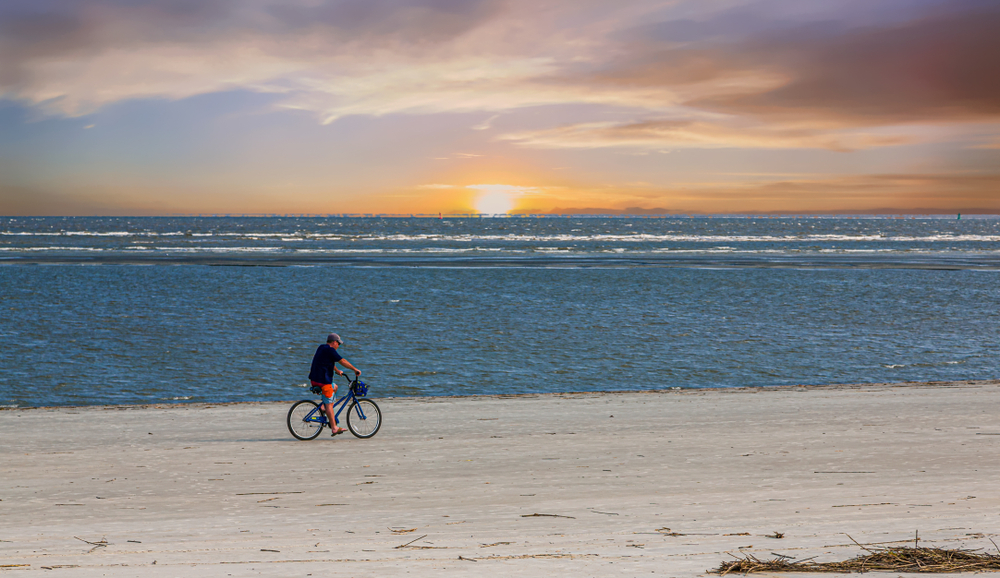
East Beach, which looks out on the Atlantic Ocean, is an excellent choice for intermediate beach cycling. This 5-mile out-and-back walking and biking path is located along Ocean Blvd on the southeast coast.
The beach path is accessible from several entry points, beginning with the Golden Isles Convention & Visitors Bureau, where visitors can find trail maps and answers to island FAQs. The west part of the beach includes hotels and restaurants. Beachgoers interested in beach cruisers or paddle boards will find easy rentals at Ocean Motion Surf Co.
The beach bike path ends near Gould’s Inlet Public Beach Access at the northeastern end of Ocean Boulevard.